

The first season with a boat of your own teaches more than any course, mostly because the sea keeps a running list of your assumptions and reads it back to you at inconvenient moments. Few of the errors that spoil a passage are dramatic. They are small, ordinary things: a symbol misread on a chart, a course laid off without allowing for the tide, a position taken an hour later than it should have been. Each one is easy to correct once you know it is a habit rather than bad luck. What follows is the short list of mistakes we see most often from new skippers, and the practical routines that keep them from turning into something worse.
Misreading the chart, and trusting it too literally
Charts are precise documents, but they are precise about specific things and silent about others. New sailors tend to read the numbers and skip the notation, which is where the useful warnings live. A sounding of 2.4 inside a shallow bay tells you the depth at chart datum, not the depth this afternoon. A drying height written with a line under it, or in a different typeface, means the feature uncovers at low water. Contours, drying areas, and rock symbols all carry meaning that a quick glance will flatten into "looks deep enough".
Two more habits cause trouble. The first is using a small-scale passage chart for close-in pilotage; detail disappears at that scale, and so do you. The second is sailing with a chart that has never been corrected. Notices to Mariners are not optional housekeeping. Before a season, and again before any long passage, check that your paper charts and plotter cartography are current.
- Read the chart title block — scale, datum, units (metres or feet), and any caution notes.
- Trace your intended track with a finger and name every symbol you cross before you leave the berth.
- Note the tidal height and add it to soundings; subtract it from drying heights.
- Mark the two or three hazards that matter with a pencil circle, so they catch your eye under way.
The invisible push: leeway, tide and current
Almost every new helmsman steers the course they plotted. The boat, unfortunately, goes somewhere slightly else. Leeway is the downwind drift caused by the hull and rig above the water; the tide and current move the water itself. Neither appears on the compass, and both are easy to dismiss until a headland takes an hour longer to pass than expected.
Leeway is modest but cumulative. One degree of drift over ten miles puts you roughly a sixth of a nautical mile off track — small on an open crossing, significant when the track threads between a shoal and a buoy. Sailing close-hauled in a fresh breeze, a few degrees is normal. Steer a touch into the wind to compensate, and confirm it by watching a transit or a distant mark rather than by staring at the bow.
For tide and current, do the arithmetic properly instead of hoping. Work out a course to steer using a vector triangle: the boat's speed through the water, the tidal stream's set and rate, and the desired track over the ground. If vector work feels heavy at first, use the plotter, then check the result with a simple test — after an hour, does the GPS track match the line you drew? The point is not to distrust the electronics but to understand what they are showing.
Steer the course that gets you to the mark, not the course that points at it. They are rarely the same number.
Relying on a single source of position
One screen is a convenience, not a navigation strategy. Plotters fail in unremarkable ways: a loose power connection, a flat tablet, a chart card that is not what it was, a satellite signal lost behind a steep shore. None of these are emergencies if you already know roughly where you are and can confirm it another way.
Build the habit of the cross-check. A depth sounding that matches the chart, a transit of two marks in line, a bearing on a headland, a buoy number read through binoculars — any two of these agreeing with the screen gives you confidence; a disagreement gives you warning while there is still time to act. Keep a paper chart on the table with the track drawn on it, even when the plotter is doing the work. It costs nothing and it keeps the passage in your head rather than in a box.
Also check the settings you assume are correct: datum, units, and whether the display shows course over ground or heading. A plotter set to the wrong datum will put you a long way from where you think, and nothing on screen will look unusual.
Fixing position late, and fixing it vaguely
A fix taken every hour on a straightforward coastal passage is decent practice; approaching a harbour or a tidal gate, it should be far more frequent. The common mistake is not laziness but drift — the first fix at the start, then attention moves to sails, tea, and conversation, and the next real fix comes when the next headland does not look quite right.
When you take a fix by hand, take it well. Choose objects that are easy to identify and reasonably close, because a small error in bearing on a distant object throws the lines far apart. Take bearings quickly, in the same few minutes, and note the time. If the three lines form a small triangle, use the middle of it. If it is large, do not average your way out of it — one of the bearings is probably wrong, or you have identified the wrong object. Repeat the fix.
Guessing at buoyage and lights
Buoyage rewards a moment's care. IALA Region A applies in Europe, Africa, Asia and most of Oceania, where red marks the port side of a channel when entering from seaward; Region B, used in the Americas and parts of Asia, reverses the colours. If you have learned in one region and sail in the other, the first landfall is where old reflexes do damage.
Light characteristics deserve the same attention. A buoy's flash pattern is an identity, not decoration. Count the flashes and time the period before you commit to it, especially at night when several lights sit close together and a sectored light might be showing you a colour that means "you are off the safe line". Approaching an unfamiliar harbour after dark is not the moment to learn that two similar lights overlap.
Planning optimistically, then running out of daylight
Passage plans often assume the boat's best speed, a clean sea and no delays. In practice, a foul tide on the last few miles, a lock that opens on the hour, or a wind that fills in late can turn a comfortable afternoon into an arrival in the dark. Plan with a realistic average and add a margin; then decide, before departure, the point at which you will divert or anchor rather than press on.
- Note the tide gates and the last sensible arrival time at your destination.
- Identify two alternative anchorages or harbours along the route, with approach notes.
- Write an estimated time for each waypoint, and compare it with the actual as you go.
- Set a decision point: if you are not past a given mark by a given time, change the plan.
A small routine that prevents most of this
The sailors who make fewest mistakes are not the ones with the best equipment. They are the ones with a short, repeatable routine. Before departure: check the forecast and the tide, draw the track, read the chart symbols along it, and note the hazards and the alternatives. Under way: log the position and the time at least hourly, cross-check the screen against something real — a depth, a transit, a bearing — and confirm each buoy by its number or its light before you pass it. On arrival: write down what surprised you.
That last note is worth more than it looks. A few lines after each passage, kept in the same notebook, builds into a personal list of the places where your own assumptions go wrong. Read it before you plan the next trip and you will find the same errors waiting, easier to spot each season.
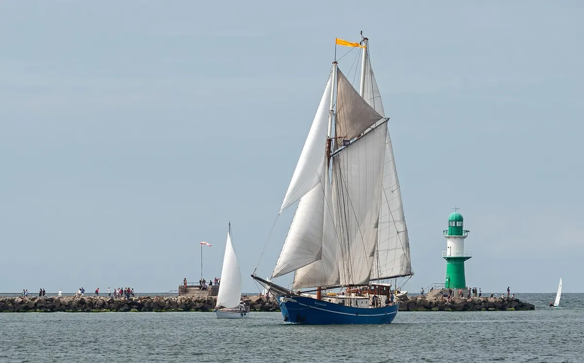
Photo: Joa70 / Pixabay